Making the Most of Crane
Usually when you climb a mountain, you spend half an hour on the summit savoring the views and enjoying a sandwich. Then you head down.
Crane Mountain is different. You'll want to stay a while. It's more plateau than peak and so, for full scenic impact, you must explore it in its entirely. That means hiking the 4.1 mile loop you'll find illustrated in the Warren County trail map described at the bottom of this piece -- plus a little more, as we'll explain.
A half-dozen of us recently ventured up this trail on a perfect fall mountain day with the goal of elevating ourselves 1300 feet over 1.6 miles to Crane's 3200-foot summit. We had rolled into the trailhead at the end of Ski High Road around 10 a.m., after driving up the Northway from Saratoga Springs, taking a left at Warrensburg, crossing the Hudson River, and skirting the Schroon, driving deep into Johnsburg's Wilcox Lake Wild Forest.
We started up the trail in the typical fall morning fog that promised to clear later. All was proceeding according to plan until we realized we'd missed a red blaze and wound up on a herd path to nowhere. After a five-minute deliberation, two of us turned back to find the "real trail" while the rest of us scrambled upward on a steep incline into a thicket of facial pine and blowdown.
Because Peter was constantly checking his GPS, and Bill was consulting the All Trails map on his phone, we believed them when they said the "real trail" was just ahead. It took a while, but bushwhacking across the contour, we finally found it. Whew. After a brief wait for the backtrackers to catch up, we continued toward the summit.
We soon encountered the first of Crane's two ladders -- a short one up a six-foot rock -- and after scaling it continued our uphill scramble. A few minutes later we reached the legendary big ladder.
We call it legendary because at 30 feet tall it just may be the longest mountain ladder to be found anywhere in the six million acres of the Adirondack Park. It's sturdy and fastened with certainty to the underlying rock, so you'll feel perfectly safe climbing it. Just don't bring your dog.
Once past the ladders, you'll find yourself on the summit in minutes. If you want proof you've arrived, look for this survey marker.
With the fog having cleared, we emerged from the woods to a warm autumnal sun, enjoying the contrast of cotton-ball clouds dappled across the deep-blue sky during a leisurely lunch.
A popular feature of the Crane Mountain hike is its spectacular views in virtually all directions from several overlooks near the summit. After taking in the views to the east, we kept following the red blazes, checking out all of the west-facing outlooks.
Heading northwest, you'll come to this view of Crane Mountain Pond and Crane Pond Hill. At the hill’s base, you'll find a herd path that will take you to its top. You'll be rewarded by views of Crane's summit that pack an extra measure of "wow."
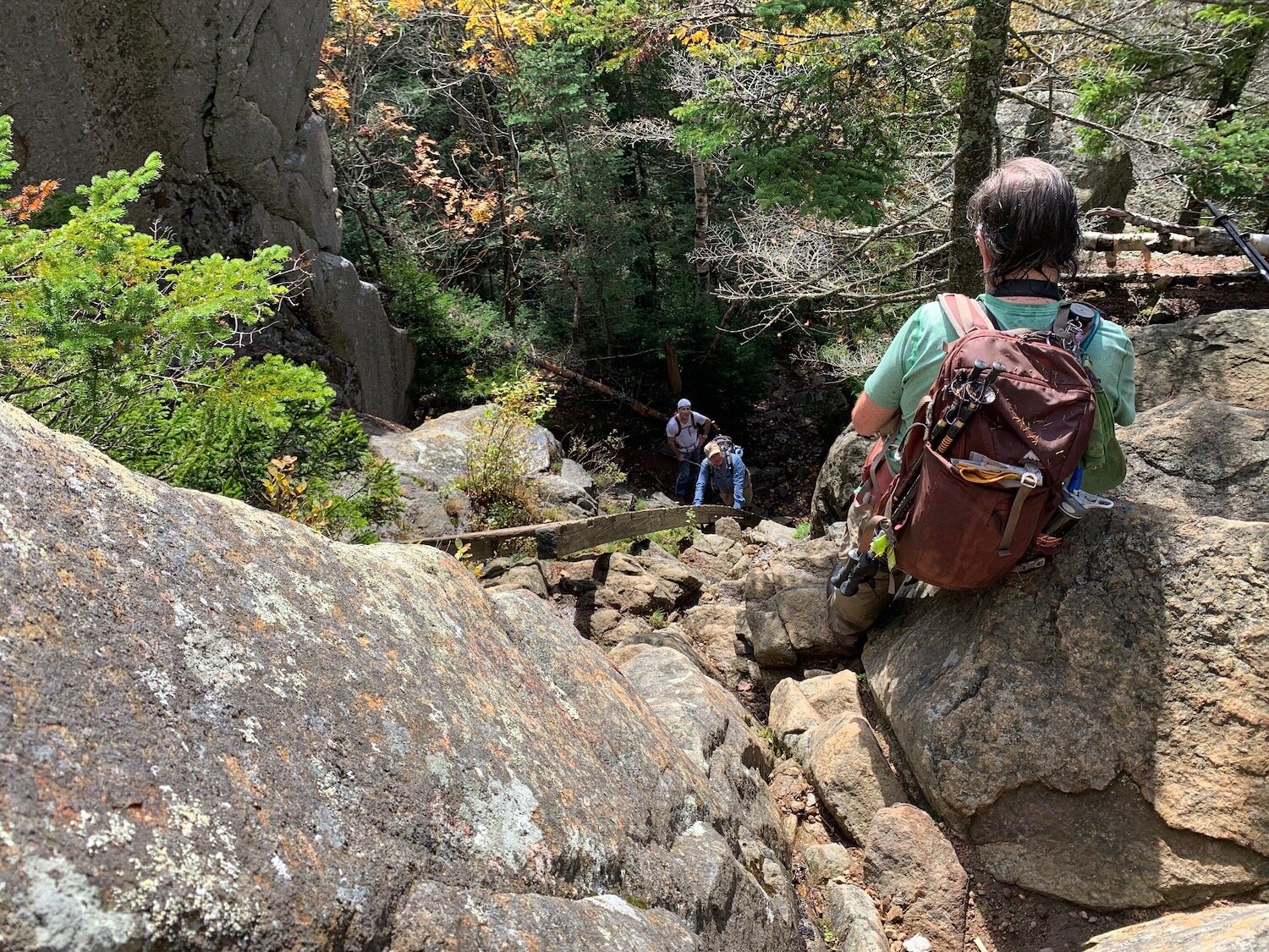
When you return to the main trail, take a right and proceed down the Crane Mountain Trail, now marked by blue blazes. It's a rocky, steep and long trip down. That's why everyone rates Crane a black-diamond "difficult."
When you sense that the forest at long last is bottoming out and you're approaching the end of your arduous descent, occasionally look to the left to scan the rock ledges behind you. If you time it right, you'll find this elegant tribute to Paul Schaefer, who led the Adirondack conservation movement through the last 60 years of the 20th century and played a major role in the national movement as well.
Schaefer was closely linked to Union College, teaching a course on the Adirondacks there. His home on St. David's Lane in Niskayuna now houses the Kelly Adirondack Center at Union College, in which Schaefer's papers and library are assembled. We'll tell you more in our next Trip Report.
IF YOU CLIMB CRANE
Download this trail map which you'll find on the Warren County Recreation Mapper. Click item 14. We recommend the hike that takes you counter-clockwise up the red trail and down the blue trail. This affords the advantage of going up the ladders, which you’ll probably find easier than going down.
Coming from the south? Consider skipping the Northway and navigating to the trailhead via the back roads north of Hadley and Stony Creek. You'll be treated to exceptional views of the Hudson as it threads its way through Adirondack peaks.


